One Fixed Base
Install a fixed RTK base station to provide correction data for compatible field equipment.
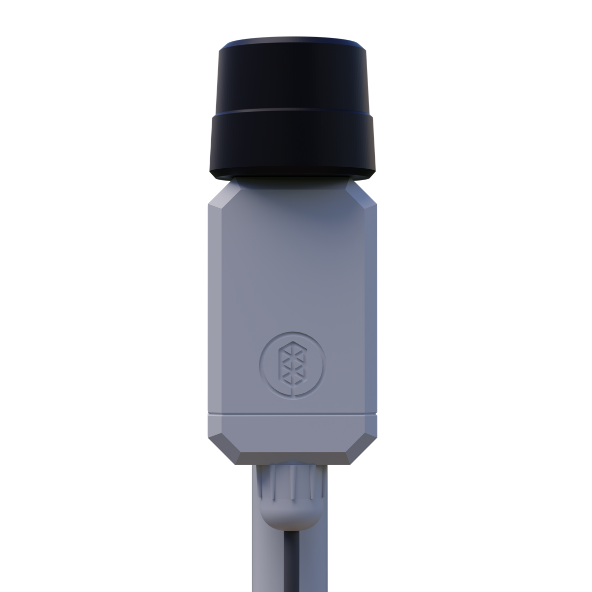
The Smart Harvest RTK GNSS Base helps agricultural robots, drones, rovers, and OEM systems receive positioning corrections over the field network.
Install a fixed RTK base station to provide correction data for compatible field equipment.
Send RTCM corrections through the farm network using UDP broadcast or NTRIP.
Use PoE Ethernet, an external GNSS antenna, and an outdoor enclosure target for field installation.
The base sends RTCM correction data over IP. Choose the delivery method that fits your equipment and network design.
Best for local field networks where multiple compatible receivers listen for the same correction stream on the same network.
Best for equipment and software that expect standard RTK correction access through an NTRIP caster or client workflow.
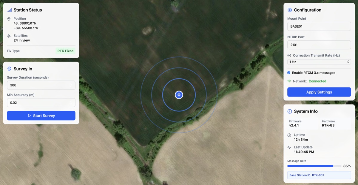
Technicians can use the local Web UI to check status, set the base position, and configure correction output.
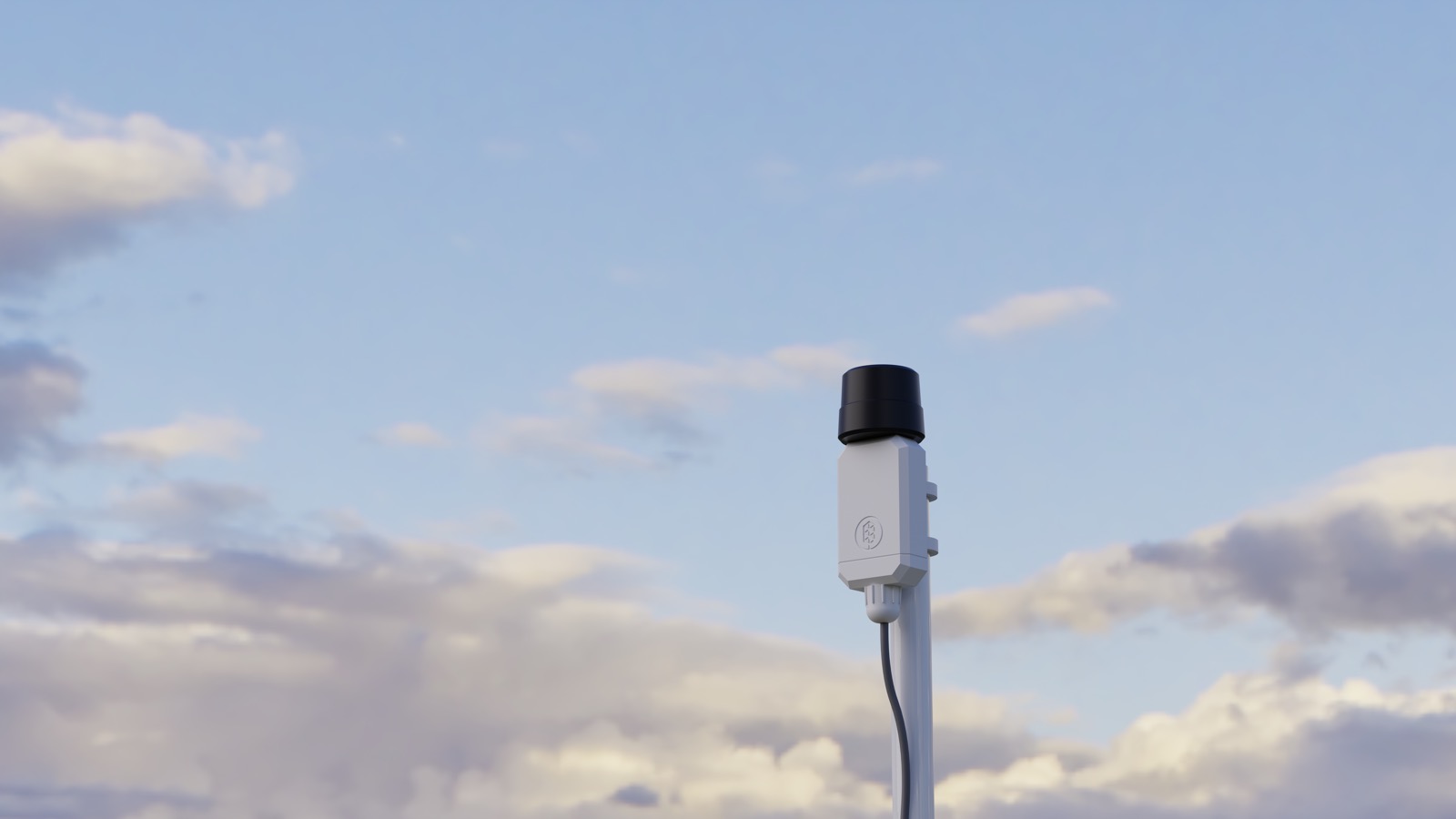
Place the base station in a stable outdoor location with clear sky view.
Power the device with PoE and connect it to the local field network.
Run survey-in from the Web UI or enter known base-station coordinates.
Deliver RTCM corrections to compatible robots, drones, rovers, and OEM systems.
Admin Panel
The local Web UI gives field technicians a clear view of station health, survey-in progress, correction output, and network status without command-line tools.
Key Specs
Coverage and final performance depend on site conditions, antenna placement, receiver compatibility, and field validation.
| Power And Data | PoE Ethernet, IEEE 802.3af |
|---|---|
| Correction Output | RTCM over UDP broadcast and NTRIP |
| GNSS Bands | Dual-band L1 + L5 |
| Constellation Support | GPS/QZSS, GLONASS, BeiDou, Galileo, NavIC |
| Antenna | Included external GNSS antenna |
| Outdoor Rating | IP65 enclosure target |
| Coverage Target | Up to 5 km when site conditions, antenna placement, network coverage, and receiver setup support it |
| Setup Tools | Local Web UI for survey-in, network status, and correction settings |
Use one correction source to support multiple compatible equipment types on the same field network.
Provide correction data to agricultural robots, UGVs, and autonomy platforms.
Support RTK-enabled scouting, mapping, monitoring, and precision flight workflows.
Improve repeatable positioning for crop-row inspection, sensing, and ground operations.
Add network-delivered corrections to custom robot builds and fleet deployments.
Included Capabilities
Use the base station as the correction source for compatible field equipment. Add receivers, robots, drones, or other systems as your deployment grows.
Engineering Consultation
Tell us your field size, equipment types, network plan, and positioning requirements. We can help confirm whether the RTK GNSS Base fits your deployment.